ICTWAY — AI digital twin, spatial information and ICT platforms
What we do
Insight that supports the best possible decision
We turn the know-how generated in real ICT environments into AI, digital twin and ICT platform services — delivered at the moment they are needed, so decision-makers act on evidence rather than assumption.
Business areas
Advanced knowledge, accumulated experience, best-in-class IT service
Four business areas cover the full path from spatial data acquisition to AI-driven operation and control.
AI Digital Twinner Platform
Software that designs, builds, operates and controls 3D space. Consulting through delivery in one stop, drawing on aerial, ground and underground experience.
Learn more →Digital Twin
Level-4 digital twin capability: optimised physical objects recomposed into an interlinked composite twin, with interoperation optimisation between them.
Learn more →ICT Platform
Open platform (3D), building lifecycle, real estate e-contract and the Underground Space Integrated Map — a captive-market business expanding site by site.
Learn more →Information & Communication
Surveillance, maritime traffic control and communication infrastructure for defence, police and public safety clients, built on advanced global technology.
Learn more →Solutions
WiseSphere — built on current web technology and open international standards
Standards-first architecture makes WiseSphere straightforward to integrate with your application services and compatible with the systems you already run.
WiseSphere 3D
3D terrain and spatial information visualisation and analysis. Non-ActiveX, WebGL/HTML5 standard, 3D Tiles with LOD optimisation, above-ground and underground in one view.
- WebGL / HTML5
- 3D Tiles
- LOD
WiseSphere 2D
2D spatial visualisation and analysis on OGC standards, with BI dashboards, heatmap and cluster analysis, vector tiles and the WSMap-JS developer library.
- WMS / WFS / WMTS
- Vector Tile
- WSMap-JS
Research & Development
National R&D programmes in drone data AI analysis, automated updating of the Underground Space Integrated Map, and spatial big data platform advancement.
- DNA + Drone
- AI inference
- ETRI
National reference platforms
Systems used every day by Korean government and citizens
ICTWAY develops and operates several of the Republic of Korea’s core spatial and administrative platforms. Each of the services below is live and publicly accessible.

Underground Space Integrated Map
Fifteen categories of underground information — utilities, structures and ground conditions — integrated in 3D to prevent ground subsidence and sinkhole accidents nationwide.
Ministry of Land, Infrastructure and Transport
V-World Spatial Data Open Platform
Korea’s flagship national map service, providing 3D spatial information alongside conventional 2D maps. ICTWAY leads its development.
map.vworld.kr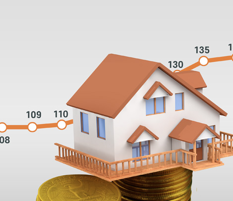
Real Estate Transaction Management System
Publishes actual transaction prices for apartments, multi-family, row and detached housing to the public. ICTWAY is the development and operations provider.
rtms.molit.go.kr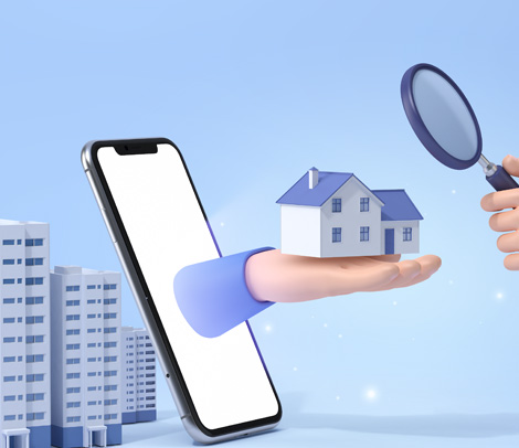
Building Life Cycle Management System
Integrated history for every building across planning, design, construction, maintenance and demolition — for citizens, owners, inspectors and public officials.
blcm.go.kr
Air Quality Policy Support System
CAPSS calculates and publishes national emission statistics; SEMS systematically manages air emission sources and their source data. ICTWAY develops and operates both.
National Institute of Environmental Research
Next-Generation Budget & Accounting System
Strengthens the construction, analysis and use of integrated fiscal information to deliver forward-looking public financial administration.
Ministry of Economy and FinanceClients
Trusted by ministries, public agencies and global enterprises
- Ministry of Land,Infrastructure and Transport
- Ministry of Economyand Finance
- Ministry of the Interiorand Safety
- Ministry of Oceansand Fisheries
- Ministry of Environment
- Ministry of National Defense
- Korean NationalPolice Agency
- Public ProcurementService
- ETRI
- Incheon InternationalAirport Corporation
- Samsung Electronics
- KT
Newsroom
Latest from ICTWAY
Selected for the government’s Innovation Premier 1000 programme
ICTWAY was named in the second 2026 cohort of Innovation Premier 1000, a national programme supporting high-growth innovative companies.
Read more →Incheon Airport integrated facility management system (iFMS) begins
Incheon International Airport Corporation launched its integrated facility management system project, taking its first step toward digital-twin-based operations.
Read more →Feature: leading the digital twin of national land
An industry feature on how ICTWAY grew into a global ICT venture through creativity and a challenger mindset around AI digital twin technology.
Read more →Planning a digital twin or spatial ICT programme?
Tell us about your project. Our teams in Seoul, Daejeon and Xi’an support consulting, delivery and long-term operation.